Daraja - Tuti Island Project
Background
The project’s selected site ‘Tuti Island’ is affected by overlapping crises; Situated at the confluence of the Blue White Niles, The Island is highly susceptible to Nile flooding, exacerbated by climate change, river bank erosion and unmanaged urbanisation. The outbreak of the armed conflict in 2023 further aggravated the situation as the island is located at the heart of the fighting, making its community one of the most vulnerable and hard-to-reach in the capital. At the same time, the fighting has severely affected the provision of civil defense, healthcare, power and communication services as well as disrupted the flow of aid to many disaster-affected communities. In the absence of external support, there is an increased need to strengthen Tuti community’s capacity to take informed decisions and actions to prevent or mitigate risks particularly those related to weather and climate, potentially saving lives , property and livelihoods. The provision of timely, location-based, easy to understand and actionable Forecasts based on actual community-needs and delivered directly to
the community through trusted channels can enable the community to anticipate, prepare and act, with little or no dependence on external assistance
objective
1. Enhance the preparedness and response capabilities of Tuti community in the face of weather-related risks and disasters.
2. To identify key stakeholders, assess capacities and develop operational partnerships to provide accurate, timely, relevant and actionable understanding of Weather and Climate information to Tuti community.
3. To map and assess the vulnerabilities within the information ecosystems for weather and climate information and early warning, and adopt a dynamic non-linear approach to information diffusion, dissemination channels and feedback loops.
The location
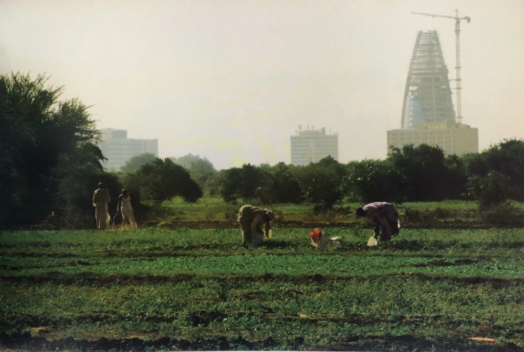
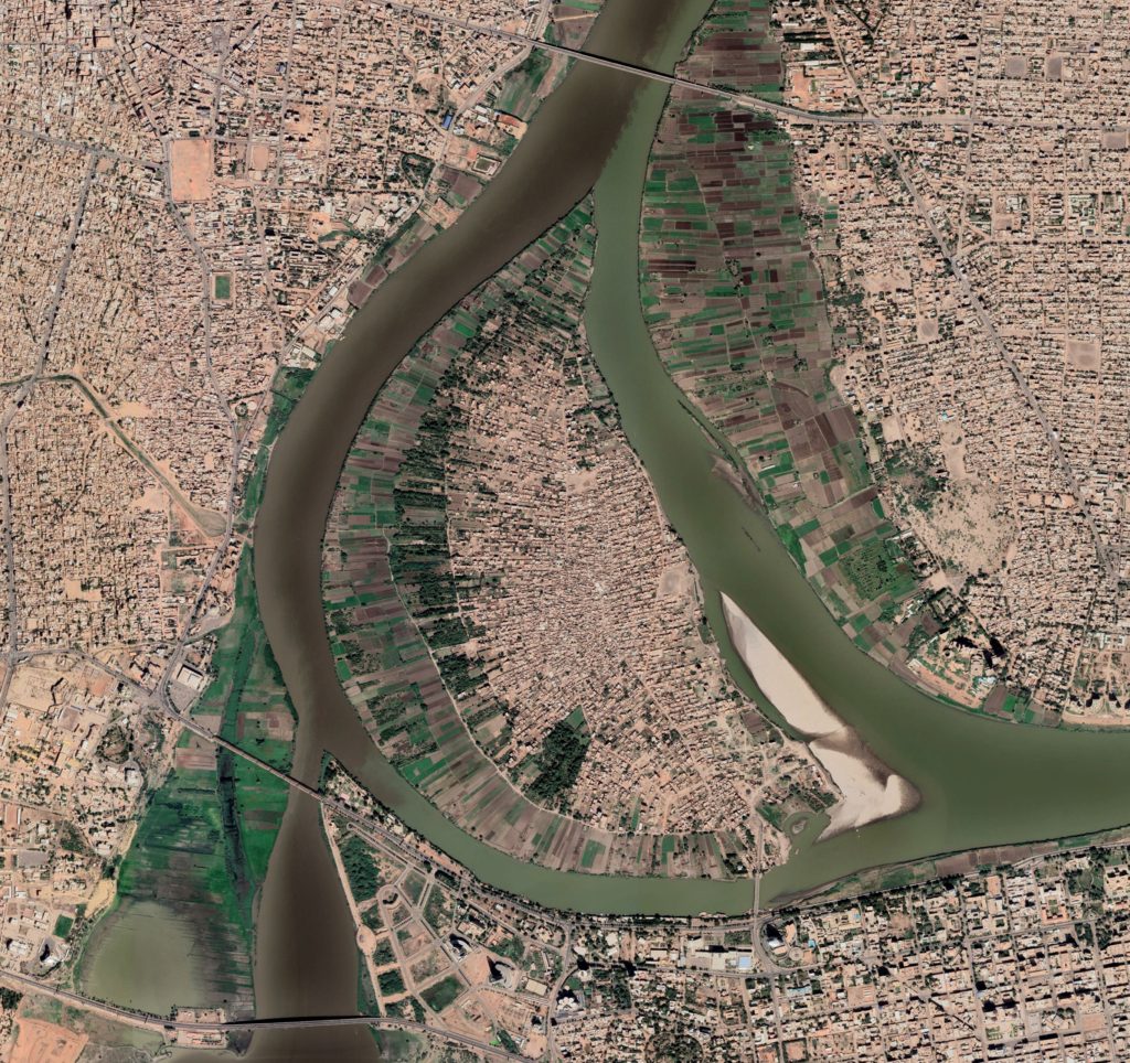
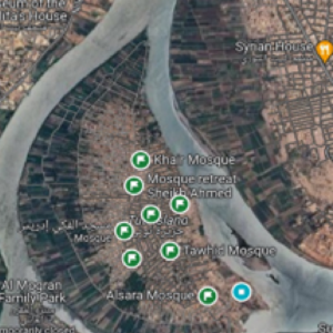
Tuti Island sits at the confluence of the two niles in the heart of Khartoum surrounded by the three towns forming the urban capital, Omdurman, Khartoum North -Bahri and Khartoum (Figure 1). It is believed to be the first populated area in khartoum and it may have been established before the 15th century during the spread of Islam (Osman 2004). Although signs of Arabic language may have been present earlier than the 15th century in this region (Aldarier 1922). Such location promotes it to become the “urban core for culture, tourism and recreation” of Khartoum State (KPP5, 2009: 6). The island’s total area is around 472.3 Hectares–an estimated 30 percent of the area is used for housing and residential purposes (hillat), while 17.5 percent is agricultural land (swagi). The island has a flat terrain with a gentle slope toward the edges. Tuti’s population has increased thrice from 5851 in the years 1955/1956 up to 14400 in 1999 with the rate of 10 thousand each 45 years. Today the population is estimated at 22.000+ Inhabitants.
Over the past 500 years, The inhabitants of Tuti Island have developed a culture of living with the Nile and managing its risks; their traditional flood monitoring and mitigation practices has kept their island safe for generations. The system consists of a network of lookout points – known as Tayas – selected for their strategic position to observe the two Niles and alert residents in case of imminent floods. The Tayas, usually in the form of tents, host a team of community volunteers responsible for the flood watch. Through this intergenerational tradition, Tuti residents have successfully faced major flood crises in 1946, 1988, 1998, 2006, 2013, 2014 and 2020 all of which caused great casualties elsewhere in the country, but during which there were no human losses reported in Tuti. In 2015 their efforts were praised and the island community was named a Champion of Disaster Risk Reduction to mark the 2015 edition of International Day for Disaster Reduction (IDRR) Watch video about AL-Tayas :
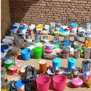
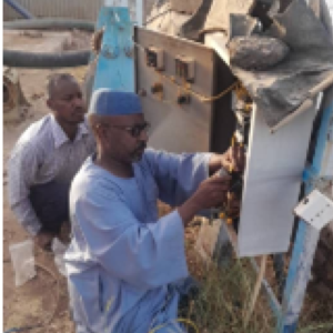
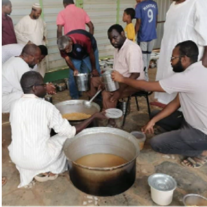
This traditional practice, evolved overtime to become a community-led disaster risk reduction system that supports the management of multiple hazards beyond those associated with weather and climate. In 2023, following the break of the armed conflict, the Island remained under siege for over 10 months blocking access to essential supplies such as food, medicine and gas. During this period, the Tayas and its teams have undertaken new functions as they become nodes for community action, preparing and distributing meals and basic food and water supplies to the neighborhood, and also maintaining the operation of the water and electricity stations, leaning on its long experience in leading community action, well-established teams and active fund-raising channels. This showcased how community-led flood mitigation can also strengthen the community’s resilience toward other hazards, such as water scarcity, food insecurity, health, safety and others. This traditional practice and culture can be integrated into anticipatory action for high-impact weather and DRR greatly reducing loss and damage. It can also effectively achieve the SENDAI Framework and SDG targets of safeguarding the heritage and securing the livelihoods of vulnerable communities.
Project Description
Through DARAJA, we aim to improve relevancy, reliability, understanding and distribution of whether and climate Information and service to vulnerable communities through bridging the gap between the providers of weather and climate information (including weather forecasters, risk modelers, the Sudan National Meteorological Authority and flood risk experts), intermediaries (local media stations and informants) and the users of this information (residents, city authorities, civil contingency managers, infrastructure managers and utility operators).
SUDTT has worked closely with the pilot community of Tuti Island through 2022-2023 to understand their traditional flood mitigation practices and the associated disaster risk reduction (DRR) governance structure before and during the conflict. Building on this work, the project team aims to strengthen the community-led system by fostering collaboration between Tuti community, meteorological services, the media, aid responders and local government. This collaboration will focus on co-designing location-based forecasts and warnings that are timely, reliable, easy to understand, and actionable with strengthened dissemination channels and feedback loops. Most importantly, the methods used will be adapted to the evolving situation and challenges posed by the ongoing conflict.
The aim is to coproduce location specific, user-centric solutions which could include (but are not limited to) the following:
- new ways of engaging with the community so they are able to better understand and act on information.
- solutions to improve how weather information is communicated.
- Use of social media to share weather and climate information.
Sudan Urban Development Think Tank will conduct baseline field research into user information needs and map the existing information ecosystem. It will play a key role in convening Sudanese stakeholders to participate in the co-design and dissemination activities.
Resurgence will work closely with all partners to design and implement an effective dissemination strategy. This will ensure that timely and actionable weather and climate information actually reaches those who most need it, despite the disruption of normal communication networks as a result of the conflict.
IGAD Climate Prediction and Applications Centre (ICPAC), the regional climate centre for the Greater Horn of Africa, will work in partnership with displaced technical and managerial staff of Sudan Meteorological Authority (SMA), who are currently operating off-base from Port Sudan, Cairo and Nairobi, to create and produce daily impact -and location- based forecasts tailored to the needs of Tuti community, with warnings and basic advice alongside whenever necessary.
Project Activities
-
March 2024
Project inception
-
April 2024
Baseline Research
-
April - May 2024
Stakeholder consultation
-
June 2024
Partner Capacity Strengthening
-
Dec 2024
Project Closing Webinar
-
july - nov 2024
Pilot
partners/sponsers
Sudan Urban Development Think Tank (SUDTT) is a non-profit organization working on practical research, capacity building, and policy advocacy in issues related to urban development challenges. SUDTT has initiated and lead the HEART project (Heritage Empowered Action for Risk in Tuti) as part of “Net Zero: Heritage for Climate Action” initiative conceived within the framework of ICCROM’s First Aid and Resilience for Cultural Heritage in Times of Crisis (FAR) programme, and funded by the Swedish Postcode Foundation. The project team in collaboration with the people of Tuti, worked together to co-produce a lessons-learned, best practice guide which captures and documents the taya knowledge and provides guidance to other communities to mobilise themselves and use their available resources effectively to mitigate disasters and build resilience.
Resurgence is a non-profit social enterprise which specialises in the design and delivery of actionable weather and climate information for vulnerable communities. Resurgence first piloted DARAJA under WISER 2 funding (value of over GBP 800,000), in Nairobi, Kenya and Dar es Salaam, Tanzania, DARAJA helped strengthening city leaders and decision makers in preparing for and responding to extreme weather and climate events with strong impact results (included a 20:1 benefit cost ratio (BCR) in enhanced productivity and avoided climate related damage and loss to users). Before the conflict began in Sudan, Resurgence had begun working with SMA and SUDTT to create a flood and high-impact weather early warning system for the city of Khartoum as part of Resurgence’s global DARAJA initiative. But this initiative was suspended as a result of the civil war. DARAJA is currently being piloted in Kampala, Uganda and Addis Ababa, Ethiopia under the Wiser 3 programme.
Sudan Meteorological Authority (SMA) is the national meteorological service provider in charge of Detection, observation, monitoring, analysis, and forecasting and focal point for the Early Warning for all initiative.
IGAD Climate Prediction and Applications Centre (ICPAC) is a World Meteorological Organization (WMO) accredited Regional Climate Centre (RCC) for East Africa. ICPAC works with the National Meteorological and Hydrological Services (NMHSs) over East Africa to build their capacity to meet emerging user needs at both regional and national levels.
Project Sponsors
This project was made possible through a Tadamon accelerator seed Grant, managed by UNDP and funded by The Islamic Solidarity fund for Development and the Islamic Development Bank.